Clochnant Bach
Introduction
The photograph on this page of Clochnant Bach by Trevor Harris as part of the Geograph project.
The Geograph project started in 2005 with the aim of publishing, organising and preserving representative images for every square kilometre of Great Britain, Ireland and the Isle of Man.

There are currently over 7.5m images from over 14,400 individuals and you can help contribute to the project by visiting https://www.geograph.org.uk
Clochnant Bach
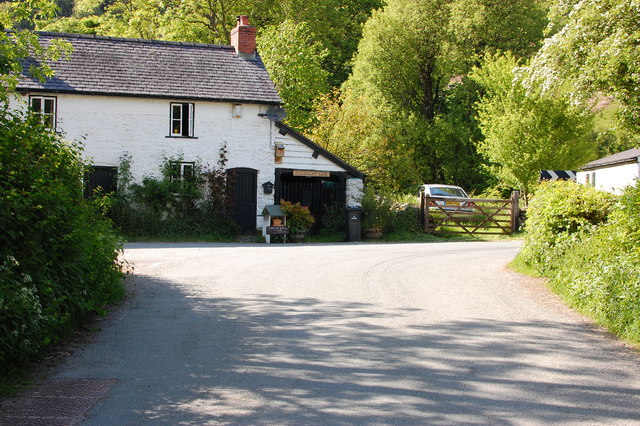
Image: © Trevor Harris Taken: 3 Jun 2016
At the junction in front of the house, right leads to Hirnant and Penybontfawr, left to Clochnant.
Images are licensed for reuse under creativecommons.org/licenses/by-sa/2.0
Image Location
Latitude
52.793886
Longitude
-3.41343