A654 (Thorpe Lower Lane)
Introduction
The photograph on this page of A654 (Thorpe Lower Lane) by John Davidson as part of the Geograph project.
The Geograph project started in 2005 with the aim of publishing, organising and preserving representative images for every square kilometre of Great Britain, Ireland and the Isle of Man.

There are currently over 7.5m images from over 14,400 individuals and you can help contribute to the project by visiting https://www.geograph.org.uk
A654 (Thorpe Lower Lane)
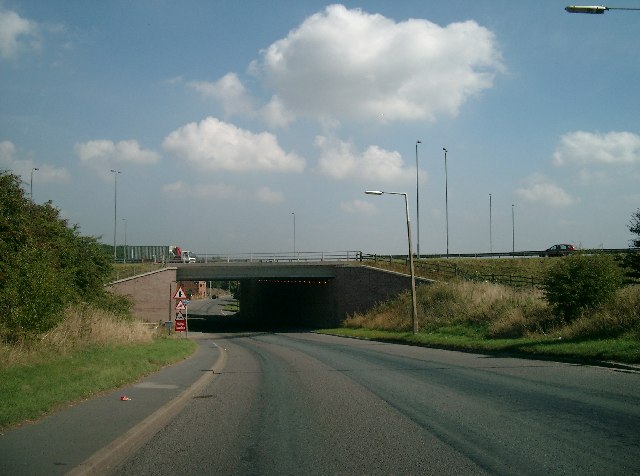
Image: © John Davidson Taken: 6 Sep 2005
The M1 bridge over the A654 at Robin Hood.
Images are licensed for reuse under creativecommons.org/licenses/by-sa/2.0
Image Location


Leaflet Map data © OpenStreetMap
Latitude
53.739296
Longitude
-1.513305