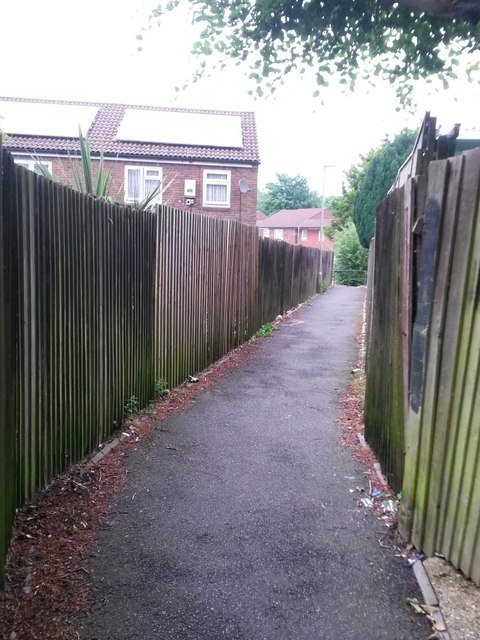
East Howe: footpath E32 between Chaldecott Gardens and Cartwright Close
Introduction
The photograph on this page of East Howe: footpath E32 between Chaldecott Gardens and Cartwright Close by Chris Downer as part of the Geograph project.
The Geograph project started in 2005 with the aim of publishing, organising and preserving representative images for every square kilometre of Great Britain, Ireland and the Isle of Man.
There are currently over 7.5m images from over 14,400 individuals and you can help contribute to the project by visiting https://www.geograph.org.uk

Image: © Chris Downer Taken: 10 Jun 2016
Footpath E32 is a public right of way between Cartwright Close and Chaldecott Gardens. Here, we see it midway along its length. The two roads mentioned form a small housing estate built in the late 1980s, prior to which this was a rather rural looking path which has thus been shortened thanks to the two roads. Current 1:25,000 mapping still alludes to the original longer route of the footpath, appearing to go right through some of the houses. See Image for a picture of the end of the path ahead, and Image for the next segment behind us.

