East Howe: footpath E33 from Sunningdale Crescent
Introduction
The photograph on this page of East Howe: footpath E33 from Sunningdale Crescent by Chris Downer as part of the Geograph project.
The Geograph project started in 2005 with the aim of publishing, organising and preserving representative images for every square kilometre of Great Britain, Ireland and the Isle of Man.

There are currently over 7.5m images from over 14,400 individuals and you can help contribute to the project by visiting https://www.geograph.org.uk
East Howe: footpath E33 from Sunningdale Crescent
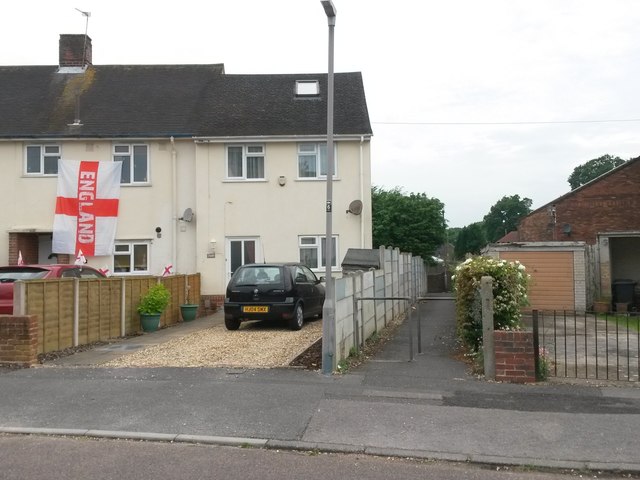
Image: © Chris Downer Taken: 10 Jun 2016
This small path leads to another public footpath, E32, to provide a link with Chaldecott Gardens (leading to Brook Road) and Cartwright Close (leading to Kinson Road). See Image for the view towards us from the far end of the path, andImage for a picture of the latter path at the point that the two paths meet. The 2016 European Cup football event starts today, hence the England flag flying next door but one to the footpath.
Images are licensed for reuse under creativecommons.org/licenses/by-sa/2.0
Image Location
Latitude
50.76058
Longitude
-1.899426