Bournemouth: footpath C08 from Hinton Road
Introduction
The photograph on this page of Bournemouth: footpath C08 from Hinton Road by Chris Downer as part of the Geograph project.
The Geograph project started in 2005 with the aim of publishing, organising and preserving representative images for every square kilometre of Great Britain, Ireland and the Isle of Man.

There are currently over 7.5m images from over 14,400 individuals and you can help contribute to the project by visiting https://www.geograph.org.uk
Bournemouth: footpath C08 from Hinton Road
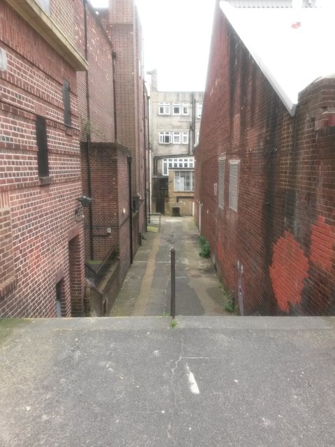
Image: © Chris Downer Taken: 10 Jun 2016
This public footpath runs from Hinton Road to Westover Road, through a bit of the delivery driveways for the premises of both roads. Here, we see it at its northern end, with a short flight of steps immediately in front of us. See Image for the view towards us from the end of visible path, andImage for the continuing course of the path beyond.
Images are licensed for reuse under creativecommons.org/licenses/by-sa/2.0
Image Location
Latitude
50.71937
Longitude
-1.875575