Market Drayton: Tudor Bar and Sandbrook Vaults
Introduction
The photograph on this page of Market Drayton: Tudor Bar and Sandbrook Vaults by Jonathan Hutchins as part of the Geograph project.
The Geograph project started in 2005 with the aim of publishing, organising and preserving representative images for every square kilometre of Great Britain, Ireland and the Isle of Man.

There are currently over 7.5m images from over 14,400 individuals and you can help contribute to the project by visiting https://www.geograph.org.uk
Market Drayton: Tudor Bar and Sandbrook Vaults
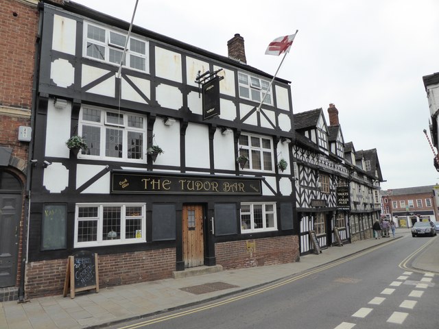
Image: © Jonathan Hutchins Taken: 4 Jun 2016
The Sandbrook Vaults are Grade II listed and can be dated to 1653, see https://www.historicengland.org.uk/listing/the-list/list-entry/1366469
Images are licensed for reuse under creativecommons.org/licenses/by-sa/2.0
Image Location


Leaflet Map data © OpenStreetMap
Latitude
52.903617
Longitude
-2.484485