Ffordd y Pentre and the modern Pont Iago
Introduction
The photograph on this page of Ffordd y Pentre and the modern Pont Iago by John S Turner as part of the Geograph project.
The Geograph project started in 2005 with the aim of publishing, organising and preserving representative images for every square kilometre of Great Britain, Ireland and the Isle of Man.

There are currently over 7.5m images from over 14,400 individuals and you can help contribute to the project by visiting https://www.geograph.org.uk
Ffordd y Pentre and the modern Pont Iago
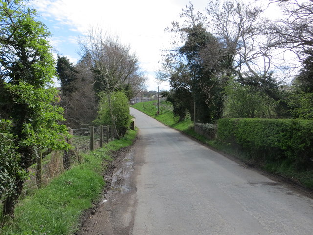
Image: © John S Turner Taken: 9 Apr 2014
Looking south along Ffordd y Pentre towards the modern Pont Iago. The ancient Pont Iago is out of sight to the right on private land, and this 'by-pass' and new bridge first appears on the 1962 O.S. map. There is an Ordnance Survey bench mark on the bridge parapet on the right nearest the camera - Image
Images are licensed for reuse under creativecommons.org/licenses/by-sa/2.0
Image Location
Latitude
53.125595
Longitude
-3.138697