Wallisdown: footpath N01 between Acton and Priestley Roads
Introduction
The photograph on this page of Wallisdown: footpath N01 between Acton and Priestley Roads by Chris Downer as part of the Geograph project.
The Geograph project started in 2005 with the aim of publishing, organising and preserving representative images for every square kilometre of Great Britain, Ireland and the Isle of Man.

There are currently over 7.5m images from over 14,400 individuals and you can help contribute to the project by visiting https://www.geograph.org.uk
Wallisdown: footpath N01 between Acton and Priestley Roads
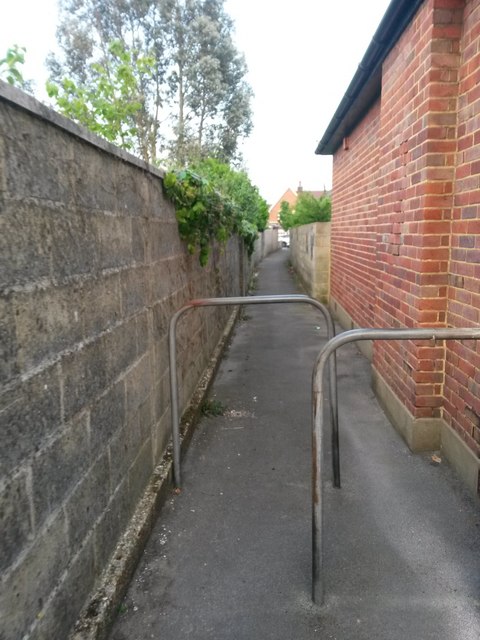
Image: © Chris Downer Taken: 8 Jun 2016
A small public footpath linking the dead-end of Acton Road (just behind us) with Priestley Road (distance). There is a slight kink halfway down, coinciding with where the two rows of back gardens meet. See Image for the reciprocal view in the opposite direction, and Image for the next view on the path ahead.
Images are licensed for reuse under creativecommons.org/licenses/by-sa/2.0
Image Location
Latitude
50.749793
Longitude
-1.904411