St Joseph's Way, Pudsey
Introduction
The photograph on this page of St Joseph's Way, Pudsey by Stephen Craven as part of the Geograph project.
The Geograph project started in 2005 with the aim of publishing, organising and preserving representative images for every square kilometre of Great Britain, Ireland and the Isle of Man.

There are currently over 7.5m images from over 14,400 individuals and you can help contribute to the project by visiting https://www.geograph.org.uk
St Joseph's Way, Pudsey
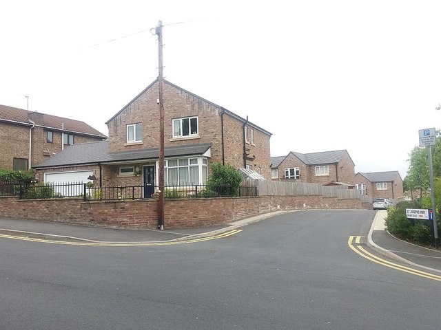
Image: © Stephen Craven Taken: 4 Jun 2016
This appears to be quite a new development off Mount Pleasant: aerial Google maps still show it as an undeveloped site. It takes its name from the nearby Catholic church. The spine road of the estate shown here follows the route of the former Pudsey railway line (see shared description).
Images are licensed for reuse under creativecommons.org/licenses/by-sa/2.0
Image Location
Latitude
53.799654
Longitude
-1.657296