Towards Coed Fedwgwaith across the Sirhowy Valley
Introduction
The photograph on this page of Towards Coed Fedwgwaith across the Sirhowy Valley by M J Roscoe as part of the Geograph project.
The Geograph project started in 2005 with the aim of publishing, organising and preserving representative images for every square kilometre of Great Britain, Ireland and the Isle of Man.

There are currently over 7.5m images from over 14,400 individuals and you can help contribute to the project by visiting https://www.geograph.org.uk
Towards Coed Fedwgwaith across the Sirhowy Valley
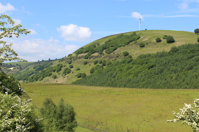
Image: © M J Roscoe Taken: 3 Jun 2016
Upper Sirhowy Valley from the A4048 near the county boundary. The wind turbine is on the side of Cruglwyn.
Images are licensed for reuse under creativecommons.org/licenses/by-sa/2.0
Image Location
Latitude
51.736807
Longitude
-3.213219