Crouch Lane
Introduction
The photograph on this page of Crouch Lane by Marathon as part of the Geograph project.
The Geograph project started in 2005 with the aim of publishing, organising and preserving representative images for every square kilometre of Great Britain, Ireland and the Isle of Man.

There are currently over 7.5m images from over 14,400 individuals and you can help contribute to the project by visiting https://www.geograph.org.uk
Crouch Lane
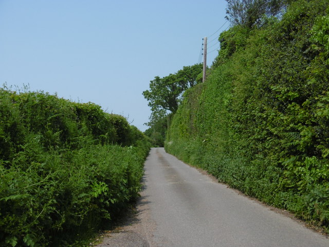
Image: © Marathon Taken: 5 Jun 2016
Crouch Lane beyond the southern edge of Ninfield links Bexhill Road (A269) with Lower Street (B2095).
Images are licensed for reuse under creativecommons.org/licenses/by-sa/2.0
Image Location
Latitude
50.878187
Longitude
0.423045