Demolition, Stamford Street
Introduction
The photograph on this page of Demolition, Stamford Street by Stephen Richards as part of the Geograph project.
The Geograph project started in 2005 with the aim of publishing, organising and preserving representative images for every square kilometre of Great Britain, Ireland and the Isle of Man.

There are currently over 7.5m images from over 14,400 individuals and you can help contribute to the project by visiting https://www.geograph.org.uk
Demolition, Stamford Street
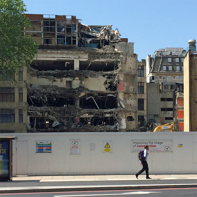
Image: © Stephen Richards Taken: 6 Jun 2016
The building faced Rennie Street (seen here Image]). It, and everything in front (including Image]), will be replaced with glass towers - what else? - the 20 Blackfriars Road development. See also Image
Images are licensed for reuse under creativecommons.org/licenses/by-sa/2.0
Image Location
Latitude
51.506686
Longitude
-0.105764