Cycle path approaching Port Glasgow
Introduction
The photograph on this page of Cycle path approaching Port Glasgow by Thomas Nugent as part of the Geograph project.
The Geograph project started in 2005 with the aim of publishing, organising and preserving representative images for every square kilometre of Great Britain, Ireland and the Isle of Man.

There are currently over 7.5m images from over 14,400 individuals and you can help contribute to the project by visiting https://www.geograph.org.uk
Cycle path approaching Port Glasgow
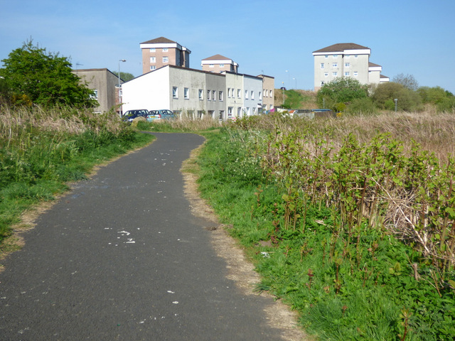
Image: © Thomas Nugent Taken: 12 May 2016
This short branch off National Cycle Network avoids the climb around Mid Auchinleck for those with local knowledge.
Images are licensed for reuse under creativecommons.org/licenses/by-sa/2.0
Image Location


Leaflet Map data © OpenStreetMap
Latitude
55.917549
Longitude
-4.66343