The Ballintemple Road junction on the Whiterock Road
Introduction
The photograph on this page of The Ballintemple Road junction on the Whiterock Road by Eric Jones as part of the Geograph project.
The Geograph project started in 2005 with the aim of publishing, organising and preserving representative images for every square kilometre of Great Britain, Ireland and the Isle of Man.

There are currently over 7.5m images from over 14,400 individuals and you can help contribute to the project by visiting https://www.geograph.org.uk
The Ballintemple Road junction on the Whiterock Road
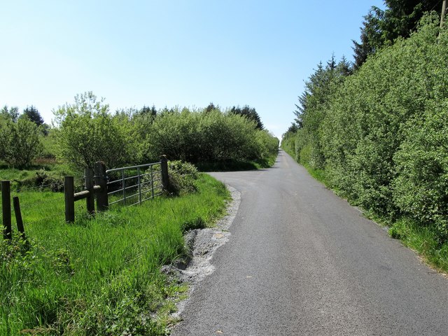
Image: © Eric Jones Taken: 3 Jun 2016
These are both backroads in the area north of the A28 (Armagh-Newry road). They run through an area of forest plantations.
Images are licensed for reuse under creativecommons.org/licenses/by-sa/2.0
Image Location
Latitude
54.201777
Longitude
-6.542847