Bray Wick farmland
Introduction
The photograph on this page of Bray Wick farmland by Dennis Turner as part of the Geograph project.
The Geograph project started in 2005 with the aim of publishing, organising and preserving representative images for every square kilometre of Great Britain, Ireland and the Isle of Man.

There are currently over 7.5m images from over 14,400 individuals and you can help contribute to the project by visiting https://www.geograph.org.uk
Bray Wick farmland
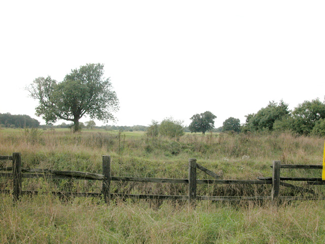
Image: © Dennis Turner Taken: 5 Sep 2005
Farmland close to motorway roundabout, with warnings about deep excavations, no doubt to deter camping and other trespass.
Images are licensed for reuse under creativecommons.org/licenses/by-sa/2.0
Image Location
Latitude
51.503774
Longitude
-0.713351