Two-storey house dwarfed by three structures, Redruth
Introduction
The photograph on this page of Two-storey house dwarfed by three structures, Redruth by Jaggery as part of the Geograph project.
The Geograph project started in 2005 with the aim of publishing, organising and preserving representative images for every square kilometre of Great Britain, Ireland and the Isle of Man.

There are currently over 7.5m images from over 14,400 individuals and you can help contribute to the project by visiting https://www.geograph.org.uk
Two-storey house dwarfed by three structures, Redruth
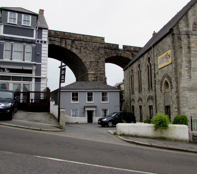
Image: © Jaggery Taken: 4 Jun 2016
Viewed across Station Hill. Charlie's Bar http://www.geograph.org.uk/photo/4983140 is on the left, Redruth Baptist Church http://www.geograph.org.uk/photo/4983133is on the right and part of a railway viaduct is in the background.
Images are licensed for reuse under creativecommons.org/licenses/by-sa/2.0
Image Location
Latitude
50.231933
Longitude
-5.228351