Path along Bude Aqueduct
Introduction
The photograph on this page of Path along Bude Aqueduct by Derek Harper as part of the Geograph project.
The Geograph project started in 2005 with the aim of publishing, organising and preserving representative images for every square kilometre of Great Britain, Ireland and the Isle of Man.

There are currently over 7.5m images from over 14,400 individuals and you can help contribute to the project by visiting https://www.geograph.org.uk
Path along Bude Aqueduct
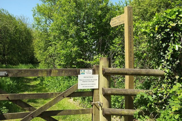
Image: © Derek Harper Taken: 31 May 2016
Looking right from Dexbeer Bridge, shown in Image], along Pancrasweek Footpath 3 on the Aqueduct Trail alongside the former Bude Canal.
Images are licensed for reuse under creativecommons.org/licenses/by-sa/2.0
Image Location


Leaflet Map data © OpenStreetMap
Latitude
50.852789
Longitude
-4.424183