Hollybush Ride or Track
Introduction
The photograph on this page of Hollybush Ride or Track by Robin Webster as part of the Geograph project.
The Geograph project started in 2005 with the aim of publishing, organising and preserving representative images for every square kilometre of Great Britain, Ireland and the Isle of Man.

There are currently over 7.5m images from over 14,400 individuals and you can help contribute to the project by visiting https://www.geograph.org.uk
Hollybush Ride or Track
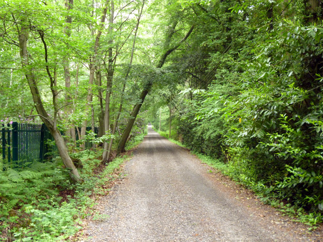
Image: © Robin Webster Taken: 4 Jun 2016
A dead-end, shown on (perhaps older) OS maps as one of those dotted rights of way with rights that need an enquiry to the highway authority to elucidate, but it is not a right-of-way on the Surrey interactive map. It is certainly signed as 'Private' at the turning off the A30.
Images are licensed for reuse under creativecommons.org/licenses/by-sa/2.0
Image Location
Latitude
51.373923
Longitude
-0.680501