Holly Cottage, High Street, Steyning
Introduction
The photograph on this page of Holly Cottage, High Street, Steyning by Simon Carey as part of the Geograph project.
The Geograph project started in 2005 with the aim of publishing, organising and preserving representative images for every square kilometre of Great Britain, Ireland and the Isle of Man.

There are currently over 7.5m images from over 14,400 individuals and you can help contribute to the project by visiting https://www.geograph.org.uk
Holly Cottage, High Street, Steyning
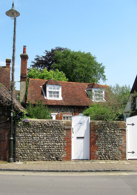
Image: © Simon Carey Taken: 29 May 2016
Number 136a was once the stables belonging to neighbouring Image but has been converted into a holiday cottage. One of two buildings with the name the other can be found at Image
Images are licensed for reuse under creativecommons.org/licenses/by-sa/2.0
Image Location
Latitude
50.891068
Longitude
-0.332472