66, High Street, Steyning
Introduction
The photograph on this page of 66, High Street, Steyning by Simon Carey as part of the Geograph project.
The Geograph project started in 2005 with the aim of publishing, organising and preserving representative images for every square kilometre of Great Britain, Ireland and the Isle of Man.

There are currently over 7.5m images from over 14,400 individuals and you can help contribute to the project by visiting https://www.geograph.org.uk
66, High Street, Steyning
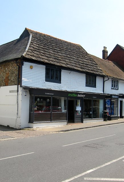
Image: © Simon Carey Taken: 29 May 2016
Located on the southern corner of Elm Grove Lane and dating back to the 17th century where it was originally built as a timber framed house. Currently occupied by Truffles a local bakery chain.
Images are licensed for reuse under creativecommons.org/licenses/by-sa/2.0
Image Location
Latitude
50.888778
Longitude
-0.329568