Re-development of The White Houses, 1-3, Church Road
Introduction
The photograph on this page of Re-development of The White Houses, 1-3, Church Road by John Baker as part of the Geograph project.
The Geograph project started in 2005 with the aim of publishing, organising and preserving representative images for every square kilometre of Great Britain, Ireland and the Isle of Man.

There are currently over 7.5m images from over 14,400 individuals and you can help contribute to the project by visiting https://www.geograph.org.uk
Re-development of The White Houses, 1-3, Church Road
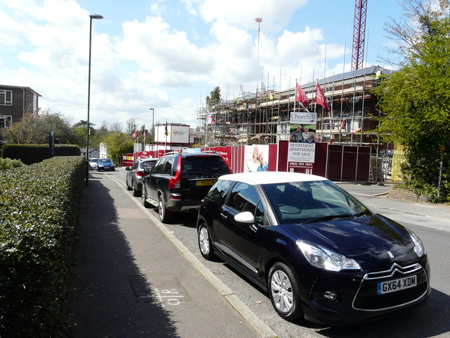
Image: © John Baker Taken: 28 Apr 2016
The ongoing work is described in Mid Sussex District Council’s planning application 13/03814/FUL as the “re-development to form 42 one and two bed sheltered apartments for the elderly including communal facilities (Category ll type accommodation), access, car parking and landscaping, following demolition of existing buildings. The White Houses refer to former offices used by South East Water.
Images are licensed for reuse under creativecommons.org/licenses/by-sa/2.0
Image Location
Latitude
50.99682
Longitude
-0.102232