Blantyre Monument
Introduction
The photograph on this page of Blantyre Monument by Richard Webb as part of the Geograph project.
The Geograph project started in 2005 with the aim of publishing, organising and preserving representative images for every square kilometre of Great Britain, Ireland and the Isle of Man.

There are currently over 7.5m images from over 14,400 individuals and you can help contribute to the project by visiting https://www.geograph.org.uk
Blantyre Monument
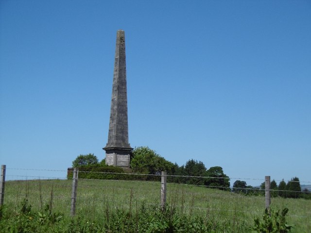
Image: © Richard Webb Taken: 2 Jun 2016
Typical early 19th century monument, in this case a Major-General Robert Walter Stuart who fought with Wellington.
Images are licensed for reuse under creativecommons.org/licenses/by-sa/2.0
Image Location
Latitude
55.91566
Longitude
-4.496212