Niddry Street, Paisley
Introduction
The photograph on this page of Niddry Street, Paisley by Richard Webb as part of the Geograph project.
The Geograph project started in 2005 with the aim of publishing, organising and preserving representative images for every square kilometre of Great Britain, Ireland and the Isle of Man.

There are currently over 7.5m images from over 14,400 individuals and you can help contribute to the project by visiting https://www.geograph.org.uk
Niddry Street, Paisley
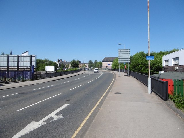
Image: © Richard Webb Taken: 2 Jun 2016
You can tell it's a cycle path, there is a sign telling you to get off your bike. A crossing of the White Cart.
Images are licensed for reuse under creativecommons.org/licenses/by-sa/2.0
Image Location
Latitude
55.8491
Longitude
-4.422283