Laceby bypass
Introduction
The photograph on this page of Laceby bypass by Chris as part of the Geograph project.
The Geograph project started in 2005 with the aim of publishing, organising and preserving representative images for every square kilometre of Great Britain, Ireland and the Isle of Man.

There are currently over 7.5m images from over 14,400 individuals and you can help contribute to the project by visiting https://www.geograph.org.uk
Laceby bypass
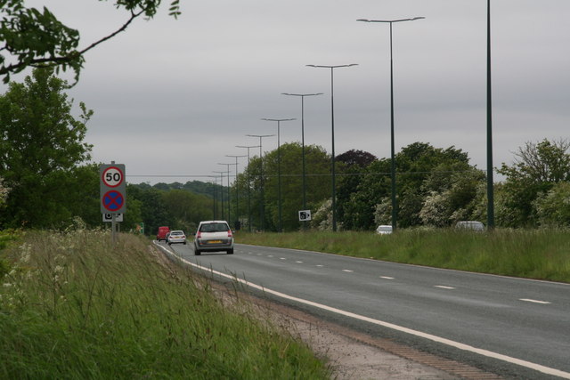
Image: © Chris Taken: 2 Jun 2016
A few years ago two girls were killed by a speeding motorist, hence the speed limit, and also speed cameras.
Images are licensed for reuse under creativecommons.org/licenses/by-sa/2.0
Image Location


Leaflet Map data © OpenStreetMap
Latitude
53.543974
Longitude
-0.150498