Footpath near Blackmorehill Farm, Middle Claydon
Introduction
The photograph on this page of Footpath near Blackmorehill Farm, Middle Claydon by Andy Gryce as part of the Geograph project.
The Geograph project started in 2005 with the aim of publishing, organising and preserving representative images for every square kilometre of Great Britain, Ireland and the Isle of Man.

There are currently over 7.5m images from over 14,400 individuals and you can help contribute to the project by visiting https://www.geograph.org.uk
Footpath near Blackmorehill Farm, Middle Claydon
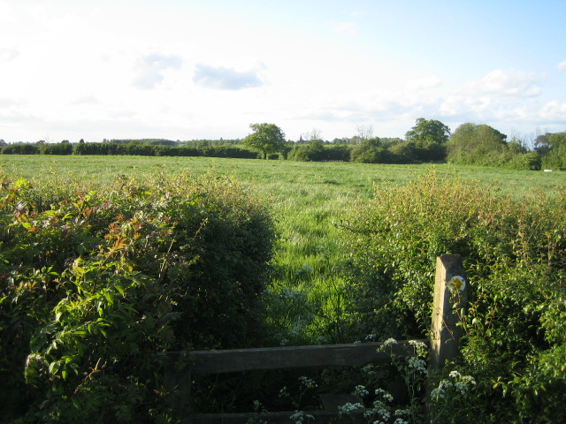
Image: © Andy Gryce Taken: 19 May 2007
This view looking north is of the footpath from the C road between Botolph Claydon and Calvert, to Steeple Claydon. The footpath is on farmland for most of the way, and about halfway it crosses the stream that flows west from Claydon House lake. In the centre distance can just be seen the spire of the parish church of St Michaels & All Angels in Steeple Claydon.
Images are licensed for reuse under creativecommons.org/licenses/by-sa/2.0
Image Location
Latitude
51.921489
Longitude
-0.975114