View down Fenkle Street, Newcastle
Introduction
The photograph on this page of View down Fenkle Street, Newcastle by Robert Graham as part of the Geograph project.
The Geograph project started in 2005 with the aim of publishing, organising and preserving representative images for every square kilometre of Great Britain, Ireland and the Isle of Man.

There are currently over 7.5m images from over 14,400 individuals and you can help contribute to the project by visiting https://www.geograph.org.uk
View down Fenkle Street, Newcastle
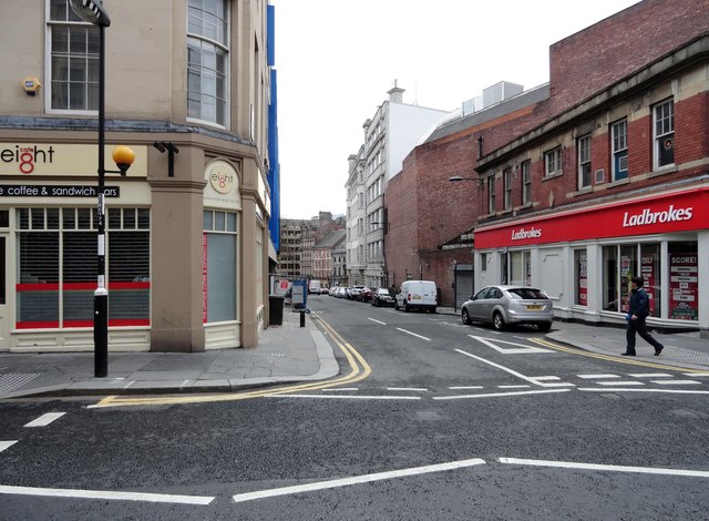
Image: © Robert Graham Taken: 21 Apr 2012
From the point where it crosses Clayton Street down to its junction with Westgate Road.
Images are licensed for reuse under creativecommons.org/licenses/by-sa/2.0
Image Location
Latitude
54.972169
Longitude
-1.615526