Path through barley field near Barthomley
Introduction
The photograph on this page of Path through barley field near Barthomley by Jonathan Hutchins as part of the Geograph project.
The Geograph project started in 2005 with the aim of publishing, organising and preserving representative images for every square kilometre of Great Britain, Ireland and the Isle of Man.

There are currently over 7.5m images from over 14,400 individuals and you can help contribute to the project by visiting https://www.geograph.org.uk
Path through barley field near Barthomley
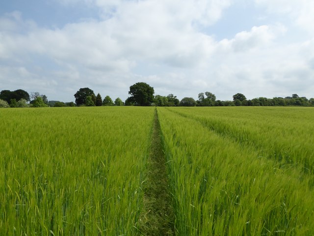
Image: © Jonathan Hutchins Taken: 30 May 2016
This path follows the former course of Smithy Lane, which led from Churchfield Farm to Radway Green, but has now been severed by the A500.
Images are licensed for reuse under creativecommons.org/licenses/by-sa/2.0
Image Location
Latitude
53.071553
Longitude
-2.351893