Meadow behind Chiltern Brewery
Introduction
The photograph on this page of Meadow behind Chiltern Brewery by Des Blenkinsopp as part of the Geograph project.
The Geograph project started in 2005 with the aim of publishing, organising and preserving representative images for every square kilometre of Great Britain, Ireland and the Isle of Man.

There are currently over 7.5m images from over 14,400 individuals and you can help contribute to the project by visiting https://www.geograph.org.uk
Meadow behind Chiltern Brewery
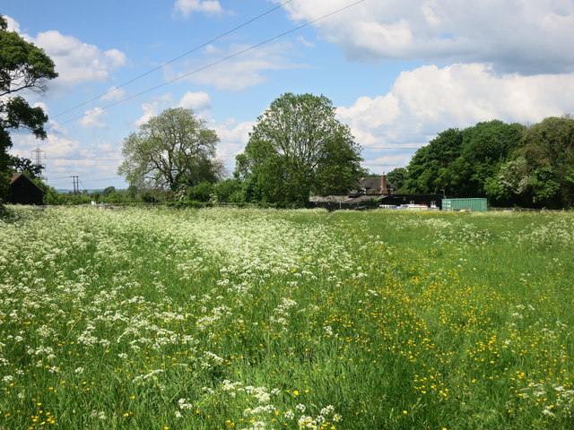
Image: © Des Blenkinsopp Taken: 23 May 2016
A footpath runs from the brewery yard southwards through fields to the hamlet of Terrick.
Images are licensed for reuse under creativecommons.org/licenses/by-sa/2.0
Image Location
Latitude
51.766867
Longitude
-0.780229