Queensway, Runcorn
Introduction
The photograph on this page of Queensway, Runcorn by Stephen McKay as part of the Geograph project.
The Geograph project started in 2005 with the aim of publishing, organising and preserving representative images for every square kilometre of Great Britain, Ireland and the Isle of Man.

There are currently over 7.5m images from over 14,400 individuals and you can help contribute to the project by visiting https://www.geograph.org.uk
Queensway, Runcorn
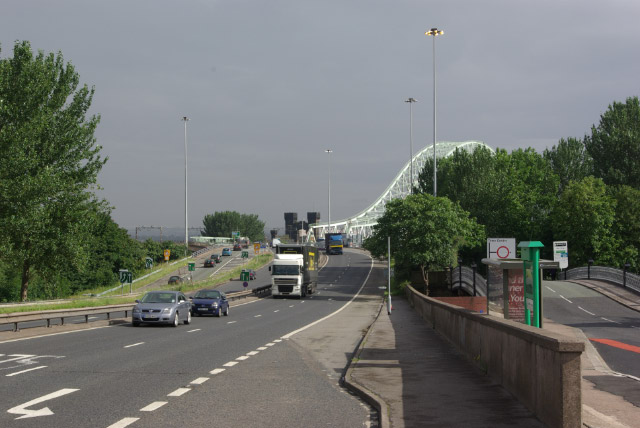
Image: © Stephen McKay Taken: 17 Jul 2007
Runcorn is a town that can seem overwhelmed by its road system. This is Queensway leading up to the Runcorn - Widnes Bridge over the River Mersey; on the right is Waterloo Bridge over the Bridgewater Canal.
Images are licensed for reuse under creativecommons.org/licenses/by-sa/2.0
Image Location


Leaflet Map data © OpenStreetMap
Latitude
53.340799
Longitude
-2.738897