Path to the old railway line
Introduction
The photograph on this page of Path to the old railway line by Richard Sutcliffe as part of the Geograph project.
The Geograph project started in 2005 with the aim of publishing, organising and preserving representative images for every square kilometre of Great Britain, Ireland and the Isle of Man.

There are currently over 7.5m images from over 14,400 individuals and you can help contribute to the project by visiting https://www.geograph.org.uk
Path to the old railway line
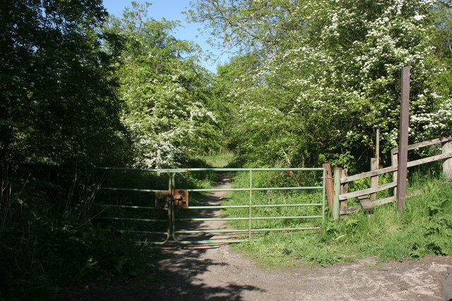
Image: © Richard Sutcliffe Taken: 29 May 2016
This path leads off the B834 road to Killearn, down to the old disused railway line, that now forms part of the West Highland Way. This was one of the original access routes to Killearn Station which was located at this point.
Images are licensed for reuse under creativecommons.org/licenses/by-sa/2.0
Image Location
Latitude
56.037847
Longitude
-4.394446