Mine monitoring station east of Argoed
Introduction
The photograph on this page of Mine monitoring station east of Argoed by M J Roscoe as part of the Geograph project.
The Geograph project started in 2005 with the aim of publishing, organising and preserving representative images for every square kilometre of Great Britain, Ireland and the Isle of Man.

There are currently over 7.5m images from over 14,400 individuals and you can help contribute to the project by visiting https://www.geograph.org.uk
Mine monitoring station east of Argoed
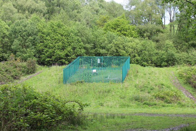
Image: © M J Roscoe Taken: 28 May 2016
The fence encloses a National Coal Authority remote mine monitoring station for a disused colliery. The Sirhowy Valley Walk passes just behind the enclosure. The muddy path running across the bottom of the picture is on the line of a dismantled railway.
Images are licensed for reuse under creativecommons.org/licenses/by-sa/2.0
Image Location
Latitude
51.699746
Longitude
-3.188352