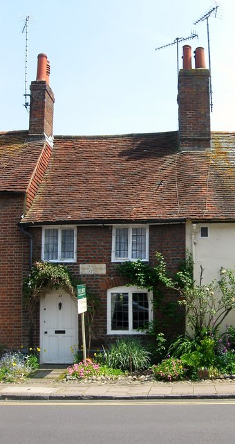
Sir Harry Gough's House, Church Street, Steyning
Introduction
The photograph on this page of Sir Harry Gough's House, Church Street, Steyning by Simon Carey as part of the Geograph project.
The Geograph project started in 2005 with the aim of publishing, organising and preserving representative images for every square kilometre of Great Britain, Ireland and the Isle of Man.
There are currently over 7.5m images from over 14,400 individuals and you can help contribute to the project by visiting https://www.geograph.org.uk

Image: © Simon Carey Taken: 29 May 2016
Number 23 acquired its name during an 18th century legal stand off between landlord, Sir Harry Gough, and a sitting tenant who refused to pay rent in order to gain squatters rights. Gough, who was MP for Bramber between 1774-90, knew the sitting tenant would qualify as one of the few voters of the rotten borough of Bramber stood his ground and eventually won. The date stone above the door reads; "This is Sir Harry Gough's House 1771." The building itself dates from the 17th century.

