Road to Auchineden Farm
Introduction
The photograph on this page of Road to Auchineden Farm by Lairich Rig as part of the Geograph project.
The Geograph project started in 2005 with the aim of publishing, organising and preserving representative images for every square kilometre of Great Britain, Ireland and the Isle of Man.

There are currently over 7.5m images from over 14,400 individuals and you can help contribute to the project by visiting https://www.geograph.org.uk
Road to Auchineden Farm
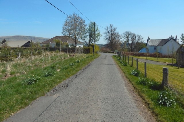
Image: © Lairich Rig Taken: 9 May 2016
The view is back towards the road junction from which Image was taken. The junction is about 40 metres ahead.
Images are licensed for reuse under creativecommons.org/licenses/by-sa/2.0
Image Location
Latitude
55.985187
Longitude
-4.384775