Looking north up the A68 near Rowley
Introduction
The photograph on this page of Looking north up the A68 near Rowley by Robert Graham as part of the Geograph project.
The Geograph project started in 2005 with the aim of publishing, organising and preserving representative images for every square kilometre of Great Britain, Ireland and the Isle of Man.

There are currently over 7.5m images from over 14,400 individuals and you can help contribute to the project by visiting https://www.geograph.org.uk
Looking north up the A68 near Rowley
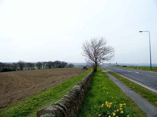
Image: © Robert Graham Taken: 6 May 2016
On the side of the A68 between Rowley and Castleside villages. Open country around here at 270m, or 880ft. Farmer harrowing the field beside the road.
Images are licensed for reuse under creativecommons.org/licenses/by-sa/2.0
Image Location
Latitude
54.829915
Longitude
-1.871079