Information board, St Cynog's Church, Ystradgynlais
Introduction
The photograph on this page of Information board, St Cynog's Church, Ystradgynlais by Jaggery as part of the Geograph project.
The Geograph project started in 2005 with the aim of publishing, organising and preserving representative images for every square kilometre of Great Britain, Ireland and the Isle of Man.

There are currently over 7.5m images from over 14,400 individuals and you can help contribute to the project by visiting https://www.geograph.org.uk
Information board, St Cynog's Church, Ystradgynlais
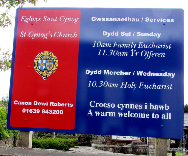
Image: © Jaggery Taken: 20 May 2016
Facing Heol Eglwys 100 metres north of the church. http://www.geograph.org.uk/photo/4974062
Images are licensed for reuse under creativecommons.org/licenses/by-sa/2.0
Image Location
Latitude
51.77692
Longitude
-3.759754