Housing development on Sherwood's Lane, Fazakerley
Introduction
The photograph on this page of Housing development on Sherwood's Lane, Fazakerley by Eirian Evans as part of the Geograph project.
The Geograph project started in 2005 with the aim of publishing, organising and preserving representative images for every square kilometre of Great Britain, Ireland and the Isle of Man.

There are currently over 7.5m images from over 14,400 individuals and you can help contribute to the project by visiting https://www.geograph.org.uk
Housing development on Sherwood's Lane, Fazakerley
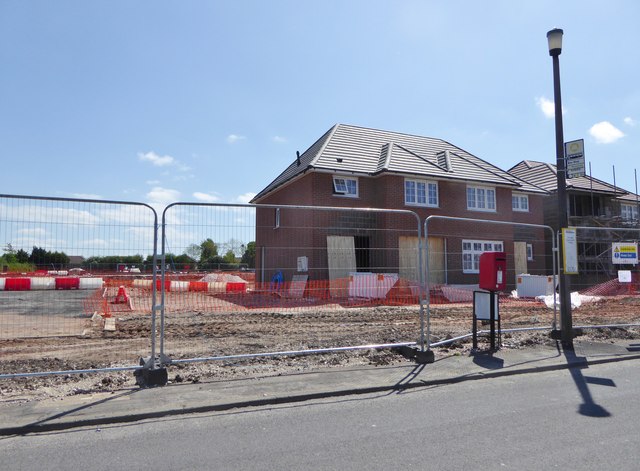
Image: © Eirian Evans Taken: 14 May 2016
65 houses being built on the site of a former school.
Images are licensed for reuse under creativecommons.org/licenses/by-sa/2.0
Image Location
Latitude
53.474716
Longitude
-2.922172