Cossington Road/Charles Street Vicinity, Sileby, Leics.
Introduction
The photograph on this page of Cossington Road/Charles Street Vicinity, Sileby, Leics. by David Hallam-Jones as part of the Geograph project.
The Geograph project started in 2005 with the aim of publishing, organising and preserving representative images for every square kilometre of Great Britain, Ireland and the Isle of Man.

There are currently over 7.5m images from over 14,400 individuals and you can help contribute to the project by visiting https://www.geograph.org.uk
Cossington Road/Charles Street Vicinity, Sileby, Leics.
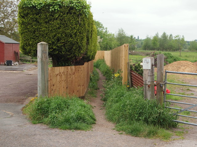
Image: © David Hallam-Jones Taken: 30 May 2016
With the off-street "Sileby entrance" into Cossington Meadows Nature Reserve 100-150 metres behind the photographer, would-be visitors are must now follow this footpath, sandwiched between two stout wooden fences.
Images are licensed for reuse under creativecommons.org/licenses/by-sa/2.0
Image Location
Latitude
52.724356
Longitude
-1.110092