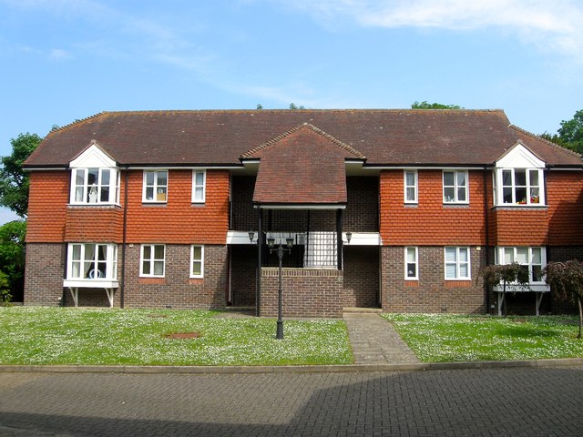
Tunsgate, Jarvis Lane, Steyning
Introduction
The photograph on this page of Tunsgate, Jarvis Lane, Steyning by Simon Carey as part of the Geograph project.
The Geograph project started in 2005 with the aim of publishing, organising and preserving representative images for every square kilometre of Great Britain, Ireland and the Isle of Man.
There are currently over 7.5m images from over 14,400 individuals and you can help contribute to the project by visiting https://www.geograph.org.uk

Image: © Simon Carey Taken: 29 May 2016
The current development dates from about 1993 and replaced St Andrew's Hall and a garage. However, the latter had been built on the site of a former brewery that had existed here from the early 19th century. On the 1876 OS map it was called Three Tuns Brewery but was later known as Gates's. In 1899 it amalgamated with Stovolds not too far away on the High Street becoming Steyning Breweries Ltd until 1927 when they were taken over by Brighton's Rock Brewery who appear to have closed both by the 1932 OS map. The only survivors of the brewery is an old cottage and a former malthouse, the latter located further up the hill on the corner of Castle Lane, see Image

