Bostal Road, Steyning
Introduction
The photograph on this page of Bostal Road, Steyning by Simon Carey as part of the Geograph project.
The Geograph project started in 2005 with the aim of publishing, organising and preserving representative images for every square kilometre of Great Britain, Ireland and the Isle of Man.

There are currently over 7.5m images from over 14,400 individuals and you can help contribute to the project by visiting https://www.geograph.org.uk
Bostal Road, Steyning
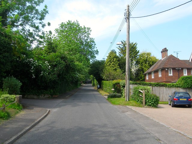
Image: © Simon Carey Taken: 29 May 2016
Heading west from Image eventually climbing Steyning Round Hill then turning south over the Downs to Sompting. Droveside Cottage is the dwelling on the right.
Images are licensed for reuse under creativecommons.org/licenses/by-sa/2.0
Image Location
Latitude
50.882821
Longitude
-0.328075