Bedford North Western Bypass
Introduction
The photograph on this page of Bedford North Western Bypass by N Chadwick as part of the Geograph project.
The Geograph project started in 2005 with the aim of publishing, organising and preserving representative images for every square kilometre of Great Britain, Ireland and the Isle of Man.

There are currently over 7.5m images from over 14,400 individuals and you can help contribute to the project by visiting https://www.geograph.org.uk
Bedford North Western Bypass
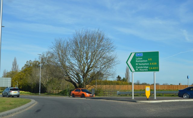
Image: © N Chadwick Taken: 30 Apr 2016
Only opened April 25th 2016. Still not shown on maps. See plans http://edrms.bedford.gov.uk/OpenDocument.aspx?id=wZqV6Bn58gze3VG4SjIzNA%3d%3d&name=11%2002114%20EIA%20V001.pdf
Images are licensed for reuse under creativecommons.org/licenses/by-sa/2.0
Image Location
Latitude
52.147117
Longitude
-0.500365