Car Park and Picnic Area
Introduction
The photograph on this page of Car Park and Picnic Area by Martin Dawes as part of the Geograph project.
The Geograph project started in 2005 with the aim of publishing, organising and preserving representative images for every square kilometre of Great Britain, Ireland and the Isle of Man.

There are currently over 7.5m images from over 14,400 individuals and you can help contribute to the project by visiting https://www.geograph.org.uk
Car Park and Picnic Area
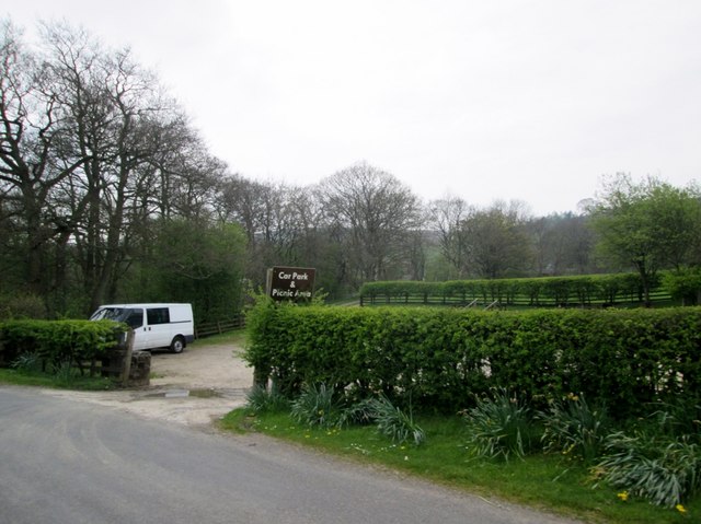
Image: © Martin Dawes Taken: 7 May 2016
On the road from Pateley Bridge to Ramsgill which runs alongside Gouthwaite Reservoir. This road is also the route of the Nidderdale Way for a couple of miles.
Images are licensed for reuse under creativecommons.org/licenses/by-sa/2.0
Image Location
Latitude
54.124002
Longitude
-1.811001