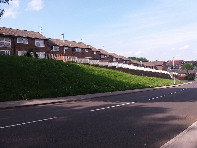
Out Gang, Bramley with modern housing
Introduction
The photograph on this page of Out Gang, Bramley with modern housing by Stephen Craven as part of the Geograph project.
The Geograph project started in 2005 with the aim of publishing, organising and preserving representative images for every square kilometre of Great Britain, Ireland and the Isle of Man.
There are currently over 7.5m images from over 14,400 individuals and you can help contribute to the project by visiting https://www.geograph.org.uk

Image: © Stephen Craven Taken: 28 May 2016
Lower down, the road is called Outgang Lane, but this end nearest the town centre is simply Out Gang. The name, like the road, is an ancient one, from when Bramley was no more than a hilltop village, and perhaps referring to the road "going out" of the village. As late as 1895, the Ordnance Survey map shows only one building between here and Kirkstall Brewery three-quarters of a mile away. The road is now cut off to through motor traffic at the top end, giving access only to a modern residential development. This is a view down the hill: see Image for a view looking downhill from the same spot.

