Tir yr Yspyty
Introduction
The photograph on this page of Tir yr Yspyty by Bill Boaden as part of the Geograph project.
The Geograph project started in 2005 with the aim of publishing, organising and preserving representative images for every square kilometre of Great Britain, Ireland and the Isle of Man.

There are currently over 7.5m images from over 14,400 individuals and you can help contribute to the project by visiting https://www.geograph.org.uk
Tir yr Yspyty
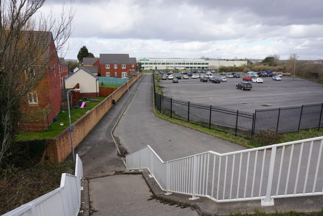
Image: © Bill Boaden Taken: 6 Apr 2016
A road on the west side of the Loughor river ujsed briefly by Cycle Route 4 and the Wales Coast Path.
Images are licensed for reuse under creativecommons.org/licenses/by-sa/2.0
Image Location
Latitude
51.663342
Longitude
-4.084308