The John Muir Way at Carbeth Huts
Introduction
The photograph on this page of The John Muir Way at Carbeth Huts by Lairich Rig as part of the Geograph project.
The Geograph project started in 2005 with the aim of publishing, organising and preserving representative images for every square kilometre of Great Britain, Ireland and the Isle of Man.

There are currently over 7.5m images from over 14,400 individuals and you can help contribute to the project by visiting https://www.geograph.org.uk
The John Muir Way at Carbeth Huts
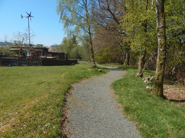
Image: © Lairich Rig Taken: 9 May 2016
The path, which is clearly new, and which is therefore not, at the time I am writing this, marked on the map, is part of the John Muir Way: specifically, it is on the walkers' route from Strathblane to Balloch; that new part of the route opened in 2016 (complementing an existing route, for cyclists as well as walkers, between those places). For the hutters' community here, see Image Secret Scotland has a page – http://www.secretscotland.org.uk/index.php/Secrets/CarbethHuts – about it; for the Craigallian Fire mentioned there, see http://www.geograph.org.uk/snippet/12126
Images are licensed for reuse under creativecommons.org/licenses/by-sa/2.0
Image Location
Latitude
55.98288
Longitude
-4.364594