The John Muir Way at Carbeth Huts
Introduction
The photograph on this page of The John Muir Way at Carbeth Huts by Lairich Rig as part of the Geograph project.
The Geograph project started in 2005 with the aim of publishing, organising and preserving representative images for every square kilometre of Great Britain, Ireland and the Isle of Man.

There are currently over 7.5m images from over 14,400 individuals and you can help contribute to the project by visiting https://www.geograph.org.uk
The John Muir Way at Carbeth Huts
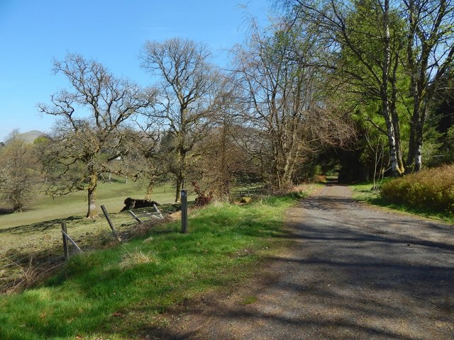
Image: © Lairich Rig Taken: 9 May 2016
The small post just to the left of the path has a marker for the John Muir Way: this path is part of the walkers' route from Balloch to Strathblane. The map shows that the ground is lower to the north, which corresponds to the open grassy area visible to the left.
Images are licensed for reuse under creativecommons.org/licenses/by-sa/2.0
Image Location
Latitude
55.983189
Longitude
-4.362529