The John Muir Way near Carbeth Huts
Introduction
The photograph on this page of The John Muir Way near Carbeth Huts by Lairich Rig as part of the Geograph project.
The Geograph project started in 2005 with the aim of publishing, organising and preserving representative images for every square kilometre of Great Britain, Ireland and the Isle of Man.

There are currently over 7.5m images from over 14,400 individuals and you can help contribute to the project by visiting https://www.geograph.org.uk
The John Muir Way near Carbeth Huts
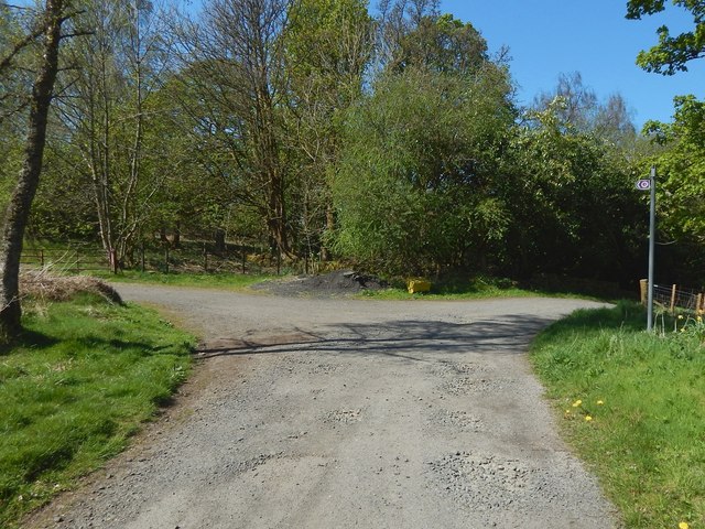
Image: © Lairich Rig Taken: 9 May 2016
The walkers' route from Balloch to Strathblane (complementing the existing cyclists' route between those places) opened in 2016. As the John Muir Way markers on the post visible at the right indicate, the route (when being followed from Strathblane to Balloch) leads directly ahead, and takes the left turning at this junction. Near here, it leads past the Carbeth Huts. For a view of this junction from the other side of the gate shown on the left, see Image The right turning is not part of the John Muir Way, but leads north to the B821: recent OS maps, perhaps by some misapprehension on the part of those revising them, call that part of the road Ballachalairy Yett; for the original application of the name, see Image
Images are licensed for reuse under creativecommons.org/licenses/by-sa/2.0
Image Location
Latitude
55.984275
Longitude
-4.357465