Alsager: start of the Merelake Way
Introduction
The photograph on this page of Alsager: start of the Merelake Way by Jonathan Hutchins as part of the Geograph project.
The Geograph project started in 2005 with the aim of publishing, organising and preserving representative images for every square kilometre of Great Britain, Ireland and the Isle of Man.

There are currently over 7.5m images from over 14,400 individuals and you can help contribute to the project by visiting https://www.geograph.org.uk
Alsager: start of the Merelake Way
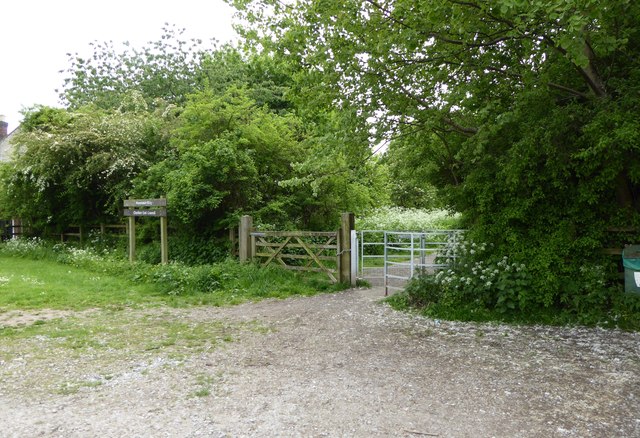
Image: © Jonathan Hutchins Taken: 28 May 2016
A small car park on Talke Road gives access to the Merelake Way.
Images are licensed for reuse under creativecommons.org/licenses/by-sa/2.0
Image Location
Latitude
53.092216
Longitude
-2.289645