Zigzag path and steps to Pen-y-bryn, Ystradgynlais
Introduction
The photograph on this page of Zigzag path and steps to Pen-y-bryn, Ystradgynlais by Jaggery as part of the Geograph project.
The Geograph project started in 2005 with the aim of publishing, organising and preserving representative images for every square kilometre of Great Britain, Ireland and the Isle of Man.

There are currently over 7.5m images from over 14,400 individuals and you can help contribute to the project by visiting https://www.geograph.org.uk
Zigzag path and steps to Pen-y-bryn, Ystradgynlais
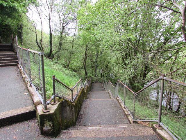
Image: © Jaggery Taken: 20 May 2016
The steps ascend towards houses in Pen-y-bryn from the east side of this http://www.geograph.org.uk/photo/4968385 footbridge over the River Tawe.
Images are licensed for reuse under creativecommons.org/licenses/by-sa/2.0
Image Location


Leaflet Map data © OpenStreetMap
Latitude
51.783471
Longitude
-3.754645