A4067 distances from Ystradgynlais
Introduction
The photograph on this page of A4067 distances from Ystradgynlais by Jaggery as part of the Geograph project.
The Geograph project started in 2005 with the aim of publishing, organising and preserving representative images for every square kilometre of Great Britain, Ireland and the Isle of Man.

There are currently over 7.5m images from over 14,400 individuals and you can help contribute to the project by visiting https://www.geograph.org.uk
A4067 distances from Ystradgynlais
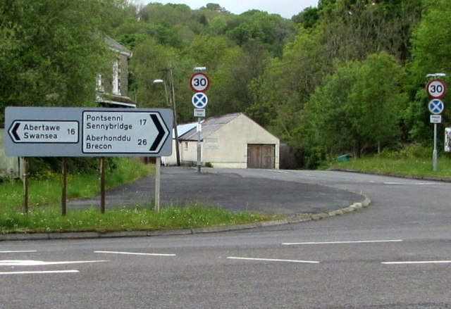
Image: © Jaggery Taken: 20 May 2016
The sign at the Heol Giedd junction shows 16 (miles) to Swansea, 17 to Sennybridge, 26 to Brecon. This part of the A4067 is the Ystradgynlais Bypass.
Images are licensed for reuse under creativecommons.org/licenses/by-sa/2.0
Image Location
Latitude
51.784342
Longitude
-3.756563