Llys Lew Farmhouse
Introduction
The photograph on this page of Llys Lew Farmhouse by Oliver Dixon as part of the Geograph project.
The Geograph project started in 2005 with the aim of publishing, organising and preserving representative images for every square kilometre of Great Britain, Ireland and the Isle of Man.

There are currently over 7.5m images from over 14,400 individuals and you can help contribute to the project by visiting https://www.geograph.org.uk
Llys Lew Farmhouse
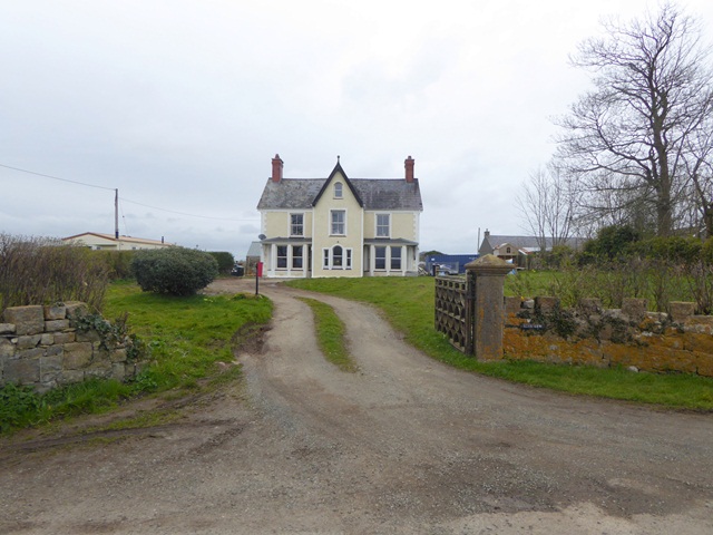
Image: © Oliver Dixon Taken: 8 Apr 2016
See also Image One of the gateposts and a couple of trees have gone in the last eight years, and the house has received a good lick of paint.
Images are licensed for reuse under creativecommons.org/licenses/by-sa/2.0
Image Location
Latitude
53.193666
Longitude
-4.287306